Disaster Response
Disaster response has been at the heart of HOT's mission since its inception. Originating with the Haiti earthquake in 2010, HOT’s responses to major disasters have marked critical milestones in the organization’s history.
About the Program
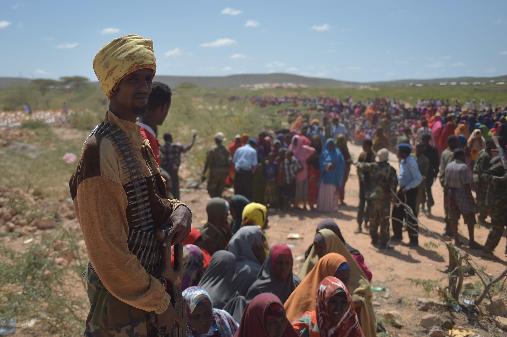
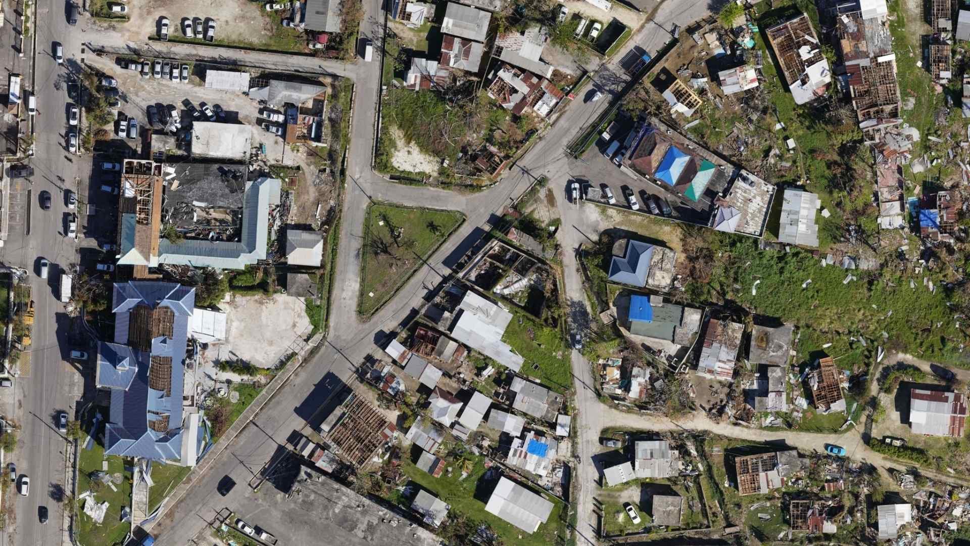
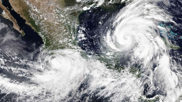
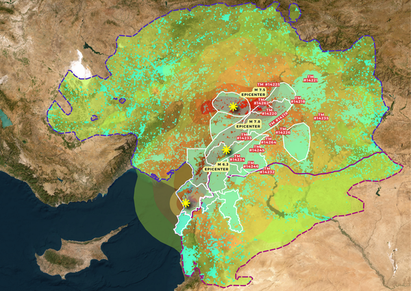
Communities across the world face recurring disasters such as hurricanes, landslides, floods and wildfires that threaten lives, livelihoods, and access to essential services. In disaster-prone regions, critical geospatial datasets—such as road networks or building footprints—are often incomplete, outdated, or unavailable, especially in high-risk and informal areas. This results in gaps in key response products like needs assessment maps and routing.
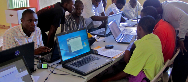
HOT’s disaster response activations are still the fastest way to ensure that we generate spatial data rapidly to fill these gaps. This includes robust quality assurance processes to build trust and promote confident data use by humanitarian actors.
Stats
+170
disaster activations since 2010
+64
countries
+ 64
Community led activations
105
HOT led activations
Goals
Rapid Data Generation
Generate spatial data as fast as possible in a disaster response
Data Access
Improve access to critical disaster data by packaging relevant and up to date data in a user-friendly format, enabling timely access and integration by responding organizations
Partnerships & community
- Strengthen and develop new and existing partnerships in a disaster response.
- Strengthen the technical and organization capacities of local OSM communities to lead and sustain disaster mapping efforts.
Projects


Meet Our Partners