Juan Melo Luna
Senior Associate, Data Quality / Latin America and the Caribbean / Colombia
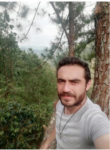
I’m a Civil engineer with experience in geographical information management and web geo services. I have worked with native communities in my country Colombia. I really like to teach; I’ve been a teacher for more than five years. I’ve been working with OSM data as a user and editor for some years.
On the Web
Posts
July 25, 2023
Mapping as a response to the disaster in Esmeraldas, Ecuador
The LAC Open Mapping Hub supported the response efforts to the disaster caused by the floods in Esmeraldas, Ecuador in coordination with the Ecuadorian Risk Management Secretariat.
March 17, 2025
Innovating with MapSwipe: Citizen Science to Classify Natural Land Cover
A pilot project involving CONABIO, the Mexican Climate Initiative, and HOT explores the use of MapSwipe to identify natural land cover, showcasing its potential for citizen science and participatory environmental monitoring.
April 9, 2025
Sargassum Monitoring with Drones in Santo Domingo: Open Technologies to Tackle Environmental Challenges
HOT, together with the Global Partnership for Sustainable Development Data and the National Statistics Office of the Dominican Republic, organized a regional workshop on sargassum monitoring. The training focused on the use of drones and open technologies for generating geospatial data. Participants included representatives from civil society, academia, and public institutions. This experience strengthens Caribbean collaboration in the face of growing environmental challenges.
April 3, 2025
Community Mapping in the Andoke de Aduche Indigenous Reserve in the Colombian Amazon
Community mapping in Araracuara strengthens the territorial management of the Andoque people through the use of drones, OpenStreetMap, and GIS. The initiative combines ancestral knowledge and technology to document and protect their territory in the face of deforestation and climate change.
